Home > Use Cases > Synthetic Vision System
Case overview
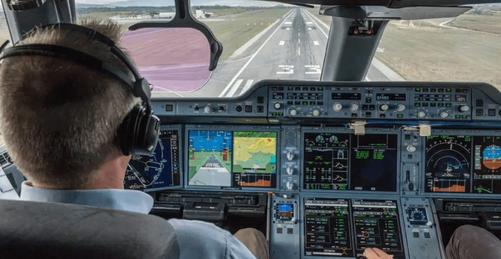
Quadraticx has developed a Synthetic Vision System (SVS) designed for real-life application in avionics, providing pilots with actual visualization of their environment using real data.
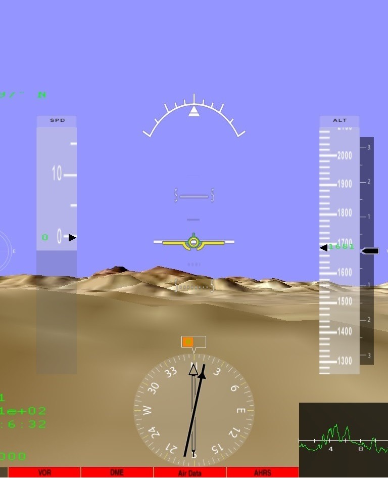
The system leverages elevation maps, updates elevation, direction, and location in real-time, and incorporates crucial readings like altitude, direction, speed, and earth profile for accurate visualization.
SVS serves a dual purpose by not only offering an immersive view of the surroundings but also aiding in obstacle avoidance through the overlay of critical information such as electricity networks, buildings, and more onto the map.


Customer Needs
The primary needs identified from the customer’s perspective were:
- Real-life application of a Synthetic Vision System for actual aircraft usage.
- Integration with avionics devices adhering to ARINC 492 standards.
- Enhanced visibility in challenging conditions.
- Obstacle avoidance capabilities through the overlay of crucial information onto the map.
Solution Elements
Quadraticx addressed these challenges and customer needs through the following key elements:
HUD (Head-Up Display) Integration
Virtual Terrain Based on Real Maps
Avionics Data Interface


The Results
The result of Quadraticx’s Synthetic Vision System is a solution that meets and exceeds the customer’s expectations. The system’s adherence to ARINC 492 standards ensures compatibility with diverse avionics devices, while the 3D visualization based on actual maps provides an unparalleled level of realism.
Real-time processing capabilities further enhance the training experience, making the Synthetic Vision System a valuable asset in advancing pilot proficiency and safety. The HUD display offers an intuitive interface, contributing to improved situational awareness.
Quadraticx has successfully delivered a state-of-the-art solution that sets new standards in synthetic vision technology for aviation.
